


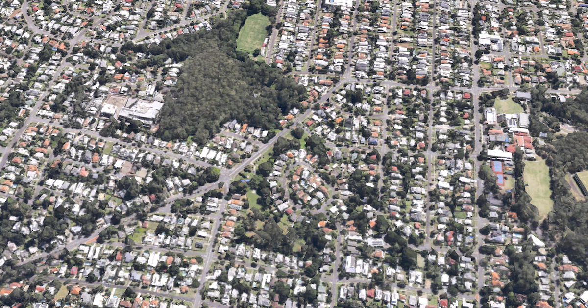
Long before Tarragindi became a residential suburb, the district was known as Sandy Creek, a rural pocket of Brisbane where a waterway, scattered farms and a growing community shaped the streets residents know today.
The change from Sandy Creek to Tarragindi took several decades. Land sales began in the 1860s, but the district remained largely undeveloped until roads, public transport and new services encouraged residential growth in the early 20th century.
Although the name Tarragindi was formally adopted for the district in 1931, traces of its earlier identity remain in the local landscape and historical records.
A suburb that took its first name from a creek
Sandy Creek begins around the foothills of Toohey Mountain and flows north through Tarragindi towards Ekibin Creek. Its course helped define the district long before today’s residential streets appeared.
Brisbane City Council’s heritage records show that land in the Sandy Creek district was offered for freehold purchase by the 1860s. In December 1862, property developer Robert Davidson bought a 55-acre parcel for £49 and 10 shillings.
The land was subsequently divided and sold, although development progressed slowly. Steep terrain, bushland and limited transport connections made Sandy Creek less accessible than established parts of Brisbane.
The district remained predominantly rural for decades, with small-scale farming gradually appearing as transport connections improved.
How a man’s name travelled from a house to a suburb
The name Tarragindi came from Tarragindi Tasserone, an Australian South Sea Islander originally from the Loyalty Islands, now part of New Caledonia.
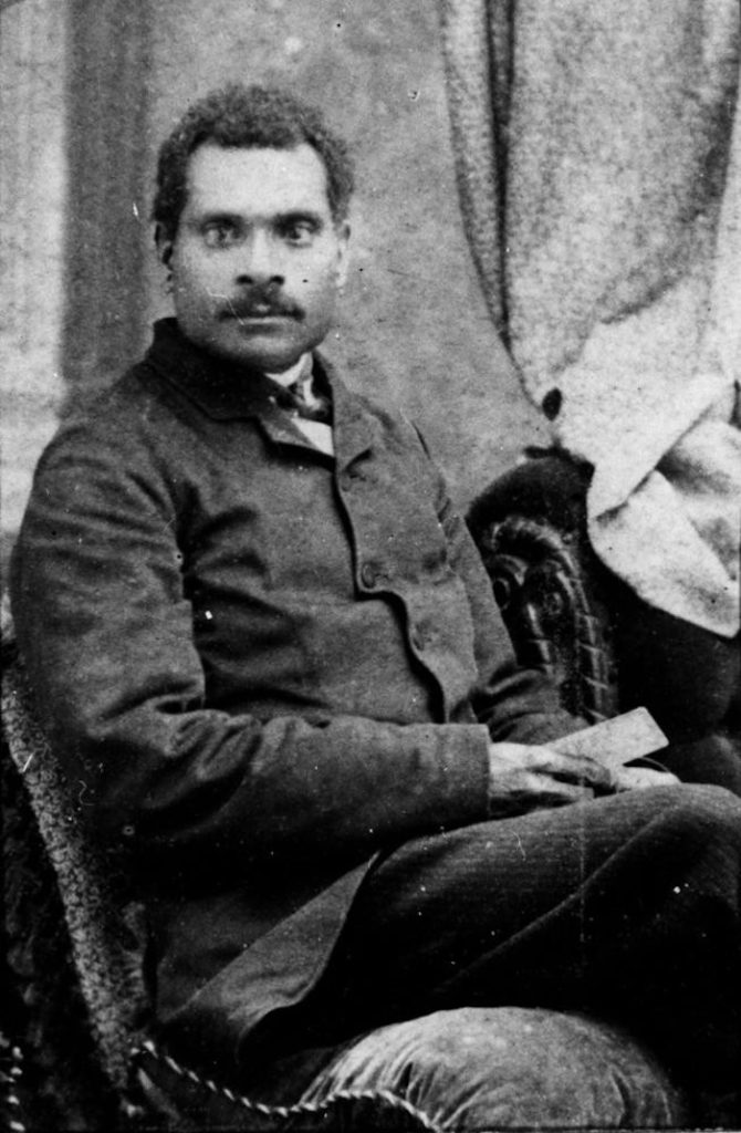
According to the State Library of Queensland, historical accounts describe Tasserone being taken from his homeland and brought to Queensland during the period of Pacific Islander labour recruitment and exploitation. He reportedly escaped from a plantation and was later taken in by the Foote family.
Tasserone also worked clearing land for the Grimes family, who were establishing a home in Sandy Creek. The family reportedly adopted his name for the property, after he suggested calling it Tarragindi.
The familiar explanation that Tarragindi means camp on the hill comes from this account. However, historical research has not conclusively established the phrase as a translation from a particular Aboriginal language.
The name spread beyond the house. Tarragindi Road was recorded by 1895, while the wider district continued to be known as Sandy Creek for several more decades.
Residents began building their own community
Sandy Creek’s transformation accelerated after the First World War, when residents organised to improve local facilities.
The Sandy Creek Progress Association, formed around 1919, campaigned for better access and community infrastructure. Its efforts helped bring attention to the needs of a district increasingly occupied by families rather than isolated landholders.
The Tarragindi Hill reservoir connected the district to Brisbane’s expanding water supply system in the early 1920s. Bus services also reached Tarragindi Hill during the decade.
In September 1925, Andrew Avenue was officially opened and named in honour of Andrew Clarke, a local soldier believed to have been the district’s only First World War fatality.
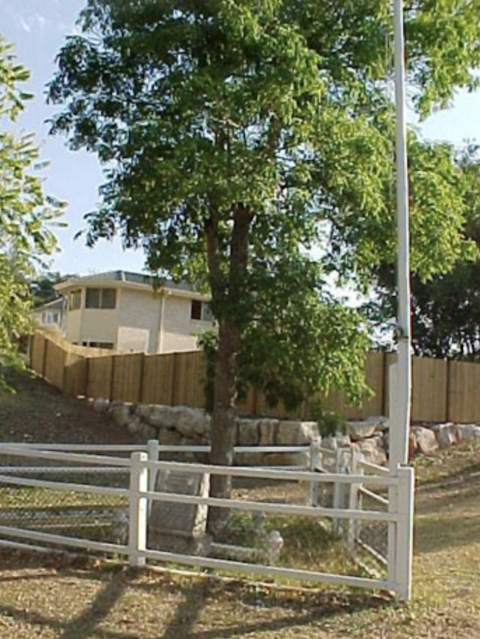
Photo Credit: BCC
The community later gained Tarragindi Memorial Hall, built near the intersection of Fernvale Road and Andrew Avenue in 1932. It provided a gathering place for a neighbourhood that had previously lacked a public hall.
From Sandy Creek to Tarragindi
By the 1920s, Tarragindi Hill was already appearing as a destination on bus services, indicating that the name had become familiar beyond the original Grimes property.
In 1931, Tarragindi was formally adopted as the district’s name, replacing Sandy Creek in local usage. The suburb’s residential development continued through the following decades, particularly after the Second World War.
Housing estates and new streets gradually changed the former farming district, while the surrounding hills and creek corridors remained important parts of its character.
From Sandy Creek to Tarragindi
Key milestones in the district’s transformation.
- 1862 — Early land sale: Robert Davidson purchases a 55-acre parcel in Sandy Creek.
- 1895 — Tarragindi Road: The name appears in historical property records.
- Around 1919 — Community organisation: The Sandy Creek Progress Association forms.
- 1923 — Water supply: Tarragindi Hill reservoir opens.
- 1925 — Andrew Avenue: The road is opened and named for Andrew Clarke.
- 1931 — New district name: Tarragindi is formally adopted.
- 1932 — Community hall: A hall is built near Fernvale Road and Andrew Avenue.
Source: Brisbane City Council heritage records.
Where Sandy Creek’s history survives
Residents can still find evidence of the district’s earlier identity in places that predate its suburban expansion.
Sandy Creek continues through local parkland, while the Andrew Clarke memorial near Fernvale Road preserves a connection to the community that campaigned for better facilities a century ago.
Another surviving landmark is Onival at 55 Tarragindi Road. Built around 1919, the heritage-listed house reflects the period when Sandy Creek was beginning its transition from bushland and smallholdings to a residential neighbourhood.
Although Sandy Creek disappeared as the district’s recognised name, its waterway, early houses and community landmarks remain part of Tarragindi’s history.
Published 28-Oct-2026